

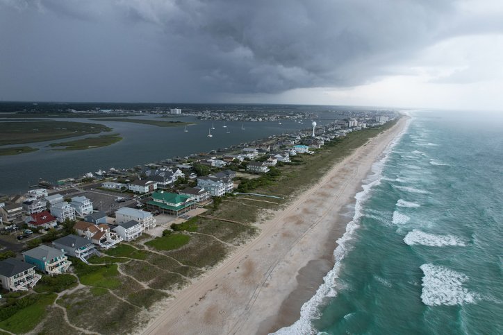
North Carolina’s coast is in for a rough few days as a developing September nor’easter strengthens just offshore. While the storm’s greatest impacts are expected farther north, the Outer Banks and other coastal communities in eastern North Carolina are already seeing dangerous surf, gusty winds and coastal flooding.
The biggest concern for North Carolina is water, rather than heavy rain. Persistent northeasterly winds will push ocean water toward the coast, creating flooding around high tide. The National Weather Service is forecasting 2 to 4 feet of inundation in some low-lying areas of Hatteras and Ocracoke islands, with additional flooding possible along the Pamlico Sound and lower Neuse River.
Beachgoers should also stay away from the surf. Waves in the Outer Banks could reach 10 to 15 feet, accompanied by dangerous rip currents and strong longshore currents. The prolonged pounding surf could also cause significant beach erosion and dune damage.
Travel could become particularly difficult along N.C. 12, especially around high tide. NCDOT says temporary closures are possible on vulnerable portions of the Outer Banks and is advising motorists to check conditions before traveling.
For coastal North Carolina, the message is simple: keep an eye on the forecast, avoid the ocean during the storm, and take coastal flooding seriously. Even though this isn’t a tropical system, several days of strong onshore winds and large waves can create significant problems along the shoreline.